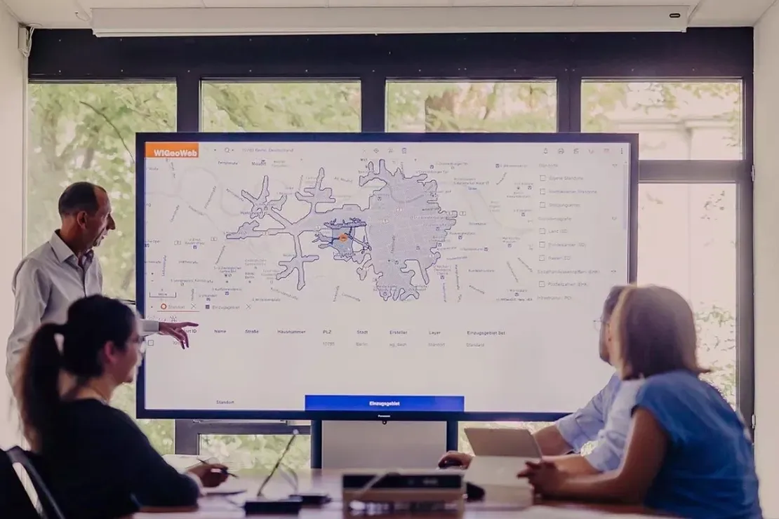
Engineering and environmental geophysics in Ottawa encompasses a suite of non-invasive subsurface investigation techniques designed to map geological conditions, assess soil and rock properties, and identify buried hazards without the need for extensive excavation. These methods are indispensable across the National Capital Region due to the complex and often challenging ground conditions that define the local landscape. From the sensitive marine clays of the Champlain Sea basin to the fractured bedrock of the Canadian Shield, understanding what lies beneath the surface is critical for safe and cost-effective construction, infrastructure renewal, and environmental management.
Ottawa's subsurface is dominated by two contrasting geological domains that directly influence geophysical survey design. Much of the urban core and eastern suburbs are underlain by thick sequences of Leda Clay, a glaciomarine deposit known for its high sensitivity and potential for large-scale retrogressive landslides. In contrast, the western and northern sectors of the city transition into the Precambrian bedrock of the Grenville Province, where variable weathering, faulting, and overburden thickness create abrupt lateral changes in ground competence. A geophysical approach must therefore be tailored to differentiate between soft, conductive sediments and hard, resistive rock, a task well-suited to methods like MASW / VS30 (shear wave velocity) profiling for soil stiffness classification and seismic tomography (refraction/reflection) for bedrock mapping.
Compliance with the National Building Code of Canada (NBCC 2020) and its seismic hazard provisions is a primary driver for near-surface geophysics in Ottawa. The city falls within a moderate-to-high seismic hazard zone, and site-specific ground motion amplification studies are routinely required for critical facilities, schools, and high-occupancy buildings. The NBCC mandates the determination of a Site Class based on the average shear-wave velocity in the upper 30 meters (Vs30). This regulatory framework makes MASW / VS30 (shear wave velocity) surveys a standard requirement for geotechnical reports submitted for building permit approval, ensuring that structural designs account for potential resonance effects in the soft post-glacial sediments.
The application of geophysics in Ottawa spans a wide range of project types, each demanding a specific combination of techniques. Major infrastructure projects, such as the expansion of the Confederation Line LRT and the rehabilitation of the Alexandra Bridge, rely on seismic tomography (refraction/reflection) to delineate bedrock depth and fracture zones along proposed alignments. Environmental site assessments for brownfield redevelopment on former industrial lands along the Ottawa River frequently integrate electrical resistivity imaging to track contaminant plumes. Furthermore, forensic investigations following slope failures in sensitive clay zones use geophysical methods to map the extent of disturbed materials and identify intact ground for stabilization measures.
The primary purpose is to characterize subsurface conditions non-invasively to guide foundation design, assess seismic site class per the National Building Code of Canada, and identify hazards such as buried utilities, voids, or unstable sensitive clays. This information reduces the risk of encountering unforeseen ground conditions during excavation and construction.
Leda Clays are electrically conductive and can mask deeper targets, making seismic methods like MASW and refraction particularly effective for mapping their thickness and stiffness. Electrical resistivity imaging is also used cautiously to map the saline porewater often associated with these deposits, which can indicate zones of higher sensitivity and landslide susceptibility.
While not always explicitly mandatory for every structure, the National Building Code of Canada 2020 requires seismic site classification (Vs30) for many buildings, particularly schools, high-occupancy structures, and post-disaster buildings. A geophysical survey is the most practical way to obtain this classification, making it a standard requirement in the geotechnical report for permit approval.
Geophysics provides continuous profiles of bedrock depth, but results are interpretive and calibrated against borehole data. In the variable overburden of the Ottawa Valley, seismic refraction and tomography can accurately map a buried rock surface, though a highly irregular or deeply weathered interface may introduce some uncertainty that a targeted drilling program helps resolve.